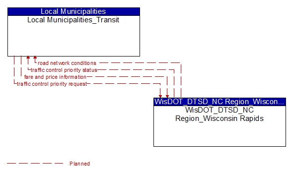
Interface: Local Municipalities_Transit - WisDOT_DTSD_NC Region_Wisconsin Rapids
Architecture Flow Definitions
fare and price information (Planned) Applicable ITS Standards
Current transit, parking, and toll fee schedule information.
road network conditions (Planned) Applicable ITS Standards
Current and forecasted traffic information, road and weather conditions, and other road network status. Either raw data, processed data, or some combination of both may be provided by this architecture flow. Information on diversions and alternate routes, closures, and special traffic restrictions (lane/shoulder use, weight restrictions, width restrictions, HOV requirements) in effect is included along with a definition of the links, nodes, and routes that make up the road network.
traffic control priority request (Planned) Applicable ITS Standards
Request for signal priority at one or more intersections along a particular route.
traffic control priority status (Planned) Applicable ITS Standards
Status of signal priority request functions at the roadside (e.g. enabled or disabled).