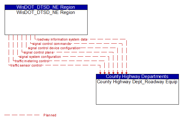
Interface: WisDOT_DTSD_NE Region - County Highway Dept_Roadway Equip
Architecture Flow Definitions
roadway information system data (Planned) Applicable ITS Standards
Information used to initialize, configure, and control roadside systems that provide driver information (e.g., dynamic message signs, highway advisory radio, beacon systems). This flow can provide message content and delivery attributes, local message store maintenance requests, control mode commands, status queries, and all other commands and associated parameters that support remote management of these systems.
signal control commands (Planned) Applicable ITS Standards
Control of traffic signal controllers or field masters including clock synchronization.
signal control device configuration (Planned) Applicable ITS Standards
Data used to configure traffic signal control equipment including local controllers and system masters.
signal control plans (Planned) Applicable ITS Standards
Traffic signal timing parameters including minimum green time and interval durations for basic operation and cycle length, splits, offset, phase sequence, etc. for coordinated systems.
signal system configuration (Planned) Applicable ITS Standards
Data used to configure traffic signal systems including configuring control sections and mode of operation (time based or traffic responsive).
traffic metering control (Planned) Applicable ITS Standards
Control commands and operating parameters for ramp meters, interchange meters, mainline meters, and other systems equipment associated with roadway metering operations.
traffic sensor control (Planned) Applicable ITS Standards
Information used to configure and control traffic sensor systems.