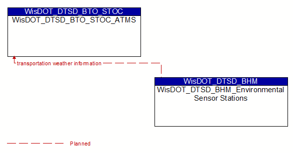
Interface: WisDOT_DTSD_BTO_STOC_ATMS - WisDOT_DTSD_BHM_Environmental Sensor Stations
Architecture Flow Definitions
transportation weather information (Planned) Applicable ITS Standards
Current and forecast road conditions and weather information (e.g., surface condition, flooding, wind advisories, visibility, etc.) associated with the transportation network. This information is of a resolution, timeliness, and accuracy to be useful in transportation decision making.